

Below, you will find a list of every Geography book included in the STAR Homeschool reading plans. I am adding new resources all the time! Feel free to use this list to plan your homeschooling.
The STAR Geography reading plans follow the Claritas Geography memory work. There are several books scheduled as options for your family. Sit together at the couch or at your dining room table and look at maps, read about places, enjoy photos of what people eat and how they live in other parts of the world, and pray for people who live far away from you.

- Cycle 1 Geography Form 1+
- Cycle 1 Geography Form 2+
- Cycle 1 Geography Form 3+
- Cycle 2 Geography Form 1+
- Cycle 2 Geography Form 2+
- Cycle 2 Geography Form 3+
- Cycle 3 Geography Form 1+
- Cycle 3 Geography Form 2+
- Cycle 3 Geography Form 3+
- Cycle 4 Geography Form 1+
- Cycle 4 Geography Form 2+
- Cycle 4 Geography Form 3+
Homeschool Geography
I don’t know about you, but I hardly learned anything about geography in my twelve years of public education. Taking time to learn geography is worthwhile!
We moved across the country, from Oregon to Virginia, in 2020. I can’t believe the amount of young people who have asked us “Where is Oregon?” Where is Oregon?! I bet they don’t know where Indonesia or Ghana or Guyana are, either. Yikes. Let’s create a different kind of education for our children by teaching them geography.
There is a whole world full of people out there–human beings, who God made, and who He loves. There are also landscapes, different from what we see out our windows in our little space on this earth, and these landscapes prove God’s existence and His immense creativity. We need to know about geography so that we can understand God better, and so that we can develop compassion for the people He cares about.
There are whole people groups who know nothing of their Creator, and we are called, in the Great Commission, to make sure that they hear the Gospel. Whether that means we go there ourselves, raise up our children to go, or we pray for and support those who are led to go; we need to know something about the places and people. Let’s endeavor to raise globally and mission-minded children by introducing them to maps and landscapes and people of the world.
How Geography is Scheduled in the Cycles
I have scheduled geography to line up with the Claritas Publishing memory work. This provides some context for the memory work, so that our children are not simply memorizing dry facts.
I encourage you to also use the geography books suggested to study the places you read about in every other subject. You will run across geography in your history readings, your read aloud books, and your books about various composers, artists, poets, etc. Look at these places on maps. Draw your own maps. Get creative! Perhaps your children will take an interest in cartography and creating his or her own hand-drawn atlas. Enjoy!
While memorizing geography facts is interesting, it is really the stories and the pictures of real people that are going to stick with your children. I encourage you to attend missions conferences and to invite missionaries over to dinner. Hear their stories and look at their photos. These places will become real in your child’s mind, and connections will be made in a way that is meaningful.
How to Teach Geography: Reading & Narration
- Read a geography passage aloud in a comfy location.
- Pick one child (and rotate each time) and ask that child what he or she heard. (This is called Narration).
- Look at maps and pictures together to discover the things you’ve just read about.
- Have your child draw pictures of what they learned.
That’s it! If you would like to schedule independent reading for your children, you may do that as well.
If your children are particularly interested in something they have heard in the day’s reading, explore it! Go to the library and pick up more books on the topic, or do a little research online. My family has really enjoyed Google Earth for geography research. For example, we read a book about Benjamin Franklin and learned that he lived on Milk Street in Boston, so we looked up Google Earth to find out what Milk Street looks like today. Have fun!
How to Teach Geography: Maps
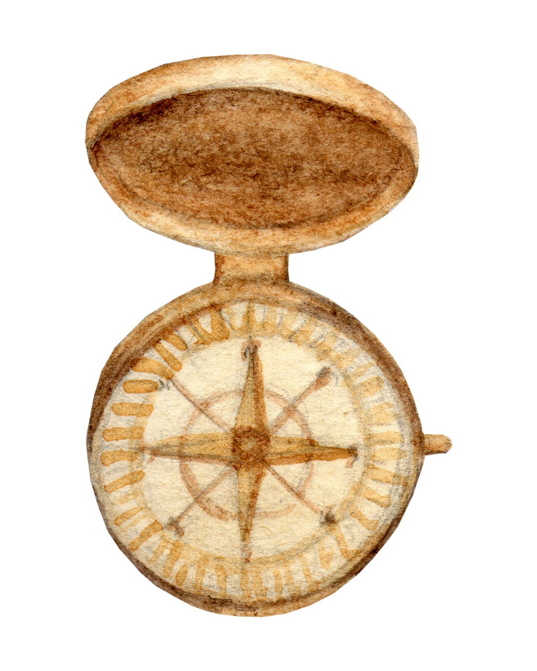
Practice drawing maps with your children regularly. With very young children, you may want to start with a map of their bedroom, then a map of your whole house, then a map of the lot or property that you live on. Move on to a map of your town, and then a map of your state, and so on. Teach directions and practice with a compass, too. Walk around the backyard with a compass to see which way is North, etc.
To draw maps, you can purchase some vellum/tracing paper and trace maps at first. Then, look at maps and re-create your best copy of it, free-hand.
Pull out the colored pencils or watercolor paints to add some variety to your maps.
Label your maps, but don’t attempt to label everything. It will be impossible to remember every little city and river and mountain. Choose something to label that day–what is your focus? It works well to tie this into the day’s reading or memory work.
More About Map Work
(Note, this info is also included on the History page).
I have scheduled several Geography books on this site, but they are scheduled to line up with the Claritas Memory Work, not necessarily with the History or Historic Literature reading. I didn’t want to make Geography study a forced and rigorously scheduled subject. Get in the habit of keeping maps around, and look at places together as you read. If your child is able to write legibly, have him label maps. If your child’s writing skills are lagging behind his interest in maps, label his maps for him and have him color the map. Or, have your child put stickers on a map instead of writing.
Some good maps for coloring, writing on and putting stickers on:
- Miller Pads and Paper Blank Maps (These are inexpensive and I have purchased many for our family and for the co-op I direct!)
- Beautiful Feet Books has some large, foldable blank maps that are SO nice for keeping track of a fully year’s worth of places studied. I have found them to be less expensive on ChristianBook.com. Here are the maps I have found: World Map, USA Map, Ancient World Map, and Maps that line up with Holling C. Holling’s geography books.
- The Mystery of History books each have a Companion Guide with blank maps in it.
- YWAM makes a blank map book to go with their biography books (I intend to schedule every one of their biography books on this site; as they’ve been such a blessing to our family!).
- Story of the World has activity books for each of their four books, which include maps: Book 1, Book 2, Book 3, and Book 4. If you are teaching multiple children, you may prefer the pdf version of these activity books.
- MasterBooks sells MapTrek outline maps, which we are using at STAR this year. I purchased the pdf for my daughters, so that I can print multiple copies of the same map, as needed.
Some plastic maps for writing on and reusing:
- Sonlight makes a large markable map to use wet erase markers on. Our family got one many years ago and has used it a lot!
- Map Placemats can be used for more than just putting a dinner plate on! When we took our RV trips across the United States in 2018 and 2020, we hung one of these U.S. maps on our RV fridge and marked our path as we drove.
- Classical Conversations makes some nice, foldable plastic maps that are designed to fit perfectly with their three cycle program. They have maps of: Africa, The World and Africa, The United States,
If you’d like your child to learn to draw maps, check out:
- Draw the World books
- Classical Conversations’ Exploring the World Through Cartography
Cycle 1
Cycle One Geography covers:
Ancient: Egypt, Fertile Crescent, Mesopotamia, Greece Europe, India, China, Phonecia, The Exodus, South America, Seven Wonders of the Ancient World
Current: Deserts & Waters of the World, Rivers, Palestine
You can find the Claritas Publishing Cycle 1 Map Book here
Cycle 2
Cycle Two Geography covers: Seas of the World, India, the Rise of Islam, China, Japan, Australia, New Zealand, South Pacific, Southern Asia, Central Asia, Russia, Africa, Middle East, Highest Peaks
You can find the Claritas Publishing Cycle 2 Map Book here.
Cycle 3
Cycle 3 Geography covers:
North America, Canada, U.S. Capitals
You can find the Claritas Publishing Cycle 3 Map Book here.
Cycle 4
Cycle 4 Geography Covers:
Iceland, Greenland, European Mountains, Modern Europe, Eastern Europe, Former Yugoslavia, European Cities, Maps of World War II, South America, Central America
You can find the Claritas Publishing Cycle 4 Map Book here.
Note, links on this page are affiliate links, in which I will make a small commission at no extra cost to you. Thank you for supporting the work I do!
If you have book suggestions or comments about these books, please share! 🙂